FP7 ERMES project just started!
Some regions of the world would have no reason to exist without rice. Rice is much more than a primary food and has a depth social, cultural and even religious role. This happens for example in Southeast Asian countries such as China, Vietnam, Thailand and the Philippines. In numbers, this vast geographic area produces about 80% of worldwide rice production and consumes about the same proportion. But numbers alone are misleading without context. In these Asian countries, the majority of the population lives below the poverty line and depends on rice as the major food source. Because of the geographical location, these countries often suffer tornadoes, tsunamis, earthquakes, and storms that can simply trash the next rice crop (among other things, of course, but in this post rice is important), with the consequent famine, economic, social and cultural problems for the inhabitants. The poor are again the most vulnerable.

Europe´s rice production is far more discreet: about 5-10% of worldwide rice production. Within Europe, Italy (50 %) is the largest producer followed by Spain (25 %), Greece (7%) and Portugal (6%). The four Mediterranean countries include almost all European production. But if we zoom in each country, rice areas are much more bounded. In Italy, for example, the rice area extends between the regions of Piedmont and Lombardy, hence the famous risotto. In Spain, rice production is concentrated in the area of ??La Albufera de Valencia and surroundings. Who has not enjoyed the famous paella!
The ERMES project (An Earth Observation Model based information RicE Service) is based on three basic pillars: rice, Earth Observation data and models, and services. It is a collaborative project funded by the European FP7 and in the context of the European program for Earth Observation called Copernicus, formerly known as GMES. One of the Copernicus objectives is to add value to the raw data and images that will be captured by the coming five families of satellites under the Sentinel mission by creating operational services for the study of climate change and crop monitoring for example.
Satellites are fundamental to the ERMES project, but to avoid misunderstandings, we are not going to create the ERMES-1 satellite! Indeed, the ERMES project will take raw data captured by satellites capture data (Earth Observation data), and will then suitably transform it by using remote sensing techniques to obtain (processed) data products. Such data products, among other types of datasets, will be fed into mathematical models to estimate rice crop production and provides risk alerts in certain study areas (like the Valencia area). Since the end farmer is not interested in the satellite images and complex crop models, the project, as the third pillar, will also create and develop web services, web applications, and mobile applications for farmers and cooperatives to take advantage of these Earth Observation data sources originally generated thousands of kilometres above their rice fields.
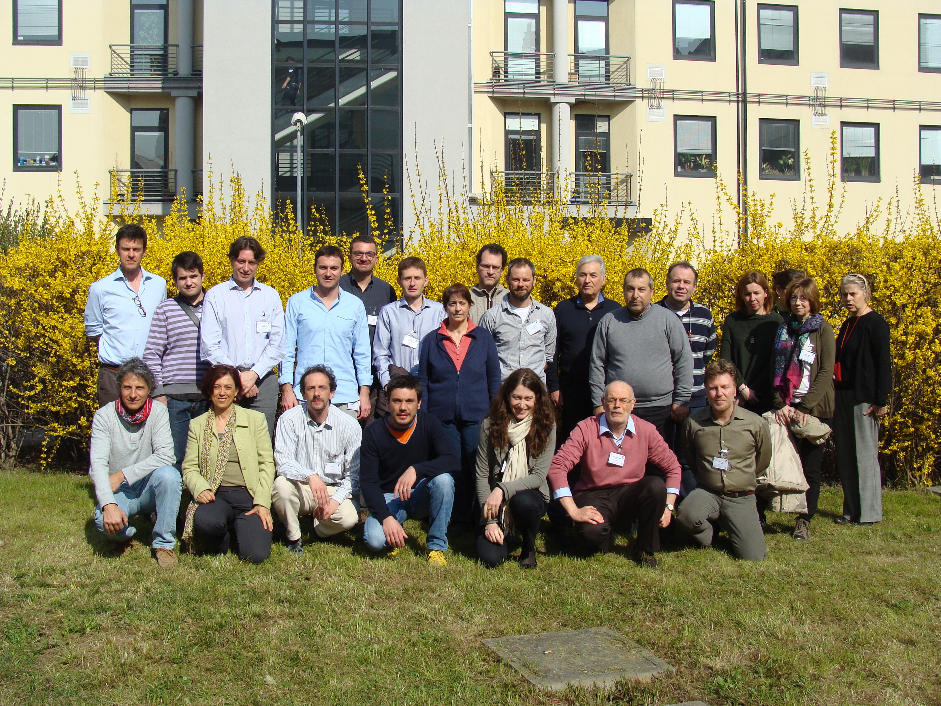
The GEOTEC research group is a project partner along with CNR-IMAA (Italy), UMIL (Italy), SARMAP SA (Switzerland), UVEG (Spain), AUTH (Greece), and DEMETER (Greece). This is a photo of the project team at the Kick-off project meeting held at CNR-IMAA, Milano (Italy) in March 2014.
Our task (Sergi, Sven, and Carlos) is the design and implementation of these value-added services to the farmers, cooperatives and stakeholders. The project has just started (March 1st, 2014), and during the next three years we will be telling you how things are going on!
- Posted by geoadmin
- On 31 March, 2014
- 0 Comments


0 Comments