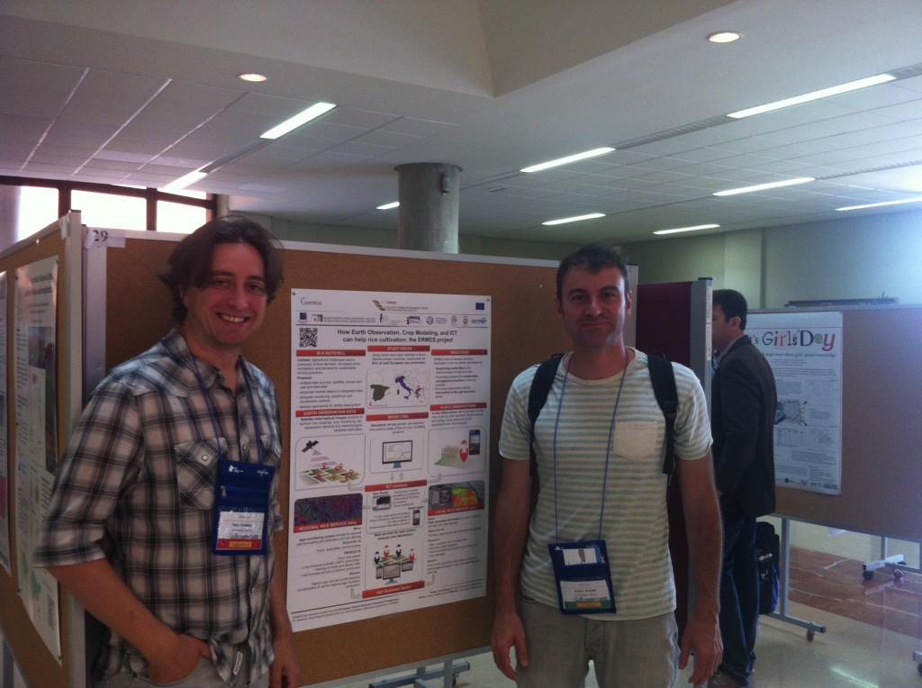
GEOTEC presents ERMES project at Agile 2014
The GEOTEC team presented the ERMES project at the 17th Agile Conference on Geographic Information Science (Agile 2014). The Agile Conference is the prime yearly European venue bringing together worldwide leading scientists in Geospatial Science and Technology, Geographic Information Science and Geospatial Data Infrastructures.
At Agile 2014, GEOTEC presented its contribution to the EU-funded ERMES project in the form of a poster, with accompanying short paper. The focus of the poster, and GEOTEC’s main role in the ERMES project, is the use geo-spatial and mobile technologies to aid farmers and local authorities in managing the rice cultivation process. Centred around a Spacial Data Infrastructure (SDI), we will build a geo-portal to disseminate relevant information such as weather conditions, sowing data, yields on one hand. On the other hand, GEOTEC will develop and deploy smart mobile applications, so-called ‘apps’, to provide functionality such as in-field navigation, critical alerts for farmers and in-situ observations on the other hand.
- Posted by geoadmin
- On 9 June, 2014
- 0 Comments


0 Comments