#EO4GEO GISDay 2020 at @UJIUniversitat : #EO and #Copernicus meet #Agriculture !
It’s GIS day again. Last year, we gathered many curious people in the ‘Jardí del Sentits’ to explain the role the Geography and geospatial information play in people’s daily life . This year, we took a different strategy and focused on a particular niche of students: those enrolled in the ‘Grado de Ingeniería Agroalimentaria y Medio Rural ’. For the geospatial community, it is quite clear to us that GIS tools and GI / EO data are critical for monitoring agriculture, especially with the latest developments around precision agriculture and satellite imagery. That was precisely the main intention of our talk: introducing students of Agriculture studies to the potential value of satellite images and the EU Copernicus program. This year’s GIS day event was part of the EO4GEO project training actions and also embraced Copernicus Academy outreach activities.

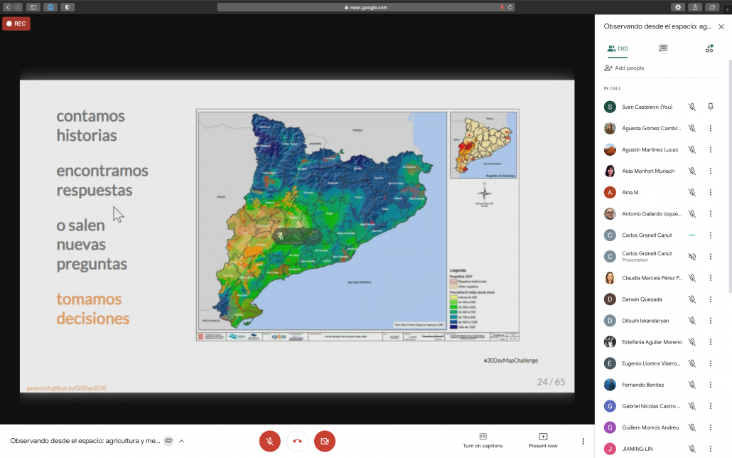
The talk’s title was “Observando desde el espacio: agricultura y medio ambiente” [Observing from space: agriculture and environment]. Both source code and the html/pdf versions of the presentation are available on a Github repo.
Around 25 participants attended the talk virtually, including students and professors. The talk began with a gentle introduction to GIS, highlighting the concept of layers to model reality. We also emphasized the need for data to create maps. Without data, there is no story and therefore there are no maps. In this sense, I would say that EO data today is mostly likely the biggest source of relevant and timely geospatial data for agricultural and sustainable monitoring and, therefore, it is something that students of Agriculture studies must know for their future careers.

The core of the talk was remote sensing. We explained the basic principles behind remote sensing and differentiated between active and passive sensors. People often associate satellite images with true colour images/images. Yet, beyond of the visible spectrum, remote sensing gives us the power to see the invisible spectrum to explore the world with a kind of superhero glasses! Here, we connected the spectral signature of vegetation with vegetation indices like NDVI.
To close the talk, the basic principles and concepts of remote sensing were framed within the scope of the Copernicus Programme, which provides tons of satellite images and products daily, an unprecedented source of valuable information for any analytical task related to monitoring and sustainability of agriculture, and environmental management in general. Students recognized the benefit that the full suite of new EO tools, data, and services can enhance their skills and competences to be better prepared for their future careers.
- Posted by geoadmin
- On 19 November, 2020
- 0 Comments


0 Comments