@Gilytics’ Pathfinder showcased at @Mastergeotech for power lines management & routing
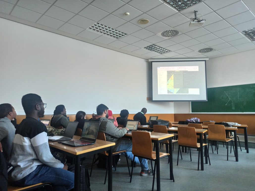
Today we are very excited as the first industry talk in the context of the 2022-2023 Erasmus Mundus Master in Geospatial Technologies took place. Giltycs‘ chief engineer Salvador Bayarri, along with his colleagues Sonia and Elena, visited us and gave an amazing introduction to Pathfinder, a tool for automating siting and routing with geospatial information. Giltycs.com is an ETH Zurich spin-off located in Valencia, specialised in developing cloud-based GIS applications and tools for high-voltage power lines management and routing.
Pathfinder is specially designed to find the best location for setting solar panel plant or to find the best path to deploy high-voltage power lines, just to mention a few examples of decision making processes for lines infrastructures. Yes, you are right, these challenges are better addressed with GIS! As any decision making process, Pathfinder also relies on multi-decision criteria analysis (MCDA) to evaluate different scenarios for line infrastructures that minimise a cost function and take into consideration geospatial constraints (slope, etc) and normative restrictions such avoiding urban zones and protected areas near these infrastructures.

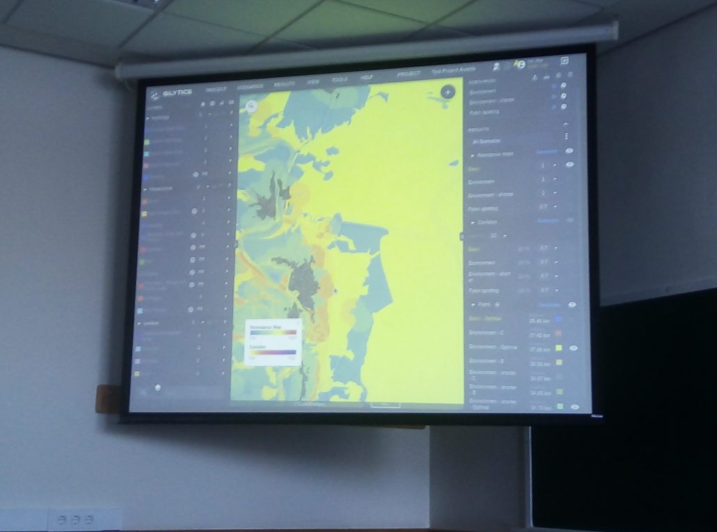
Salvador showcased the cloud-based Pathfinder tool in action, and how to add relevant layers from different sources to get them into the MCDA & routing algorithms. Next step is to specify weights to the input layers, and pick a specific MCDA like Swiss MCDA or Maximum Resistance MCDA to allow Pathfinder to calculate feasible escenarios of varying complexity. Pathfinder also allows user to . And here is where the magic of computacional processes and geoprocessing tools enter into action!

The stakes are high because the cost of such infrastructures is extremely high (in the order of dozens of millions) and any mistake can add significantly to those costs and even lead to loss of life. That’s why customers appreciate the variety of scenarios Pathfinder produces and evaluates to inform decision makers. Following an iterative fashion, customers can discard “less good” scenarios, select the good ones and repeat the refinement process by adding new constraints and restrictions until they are satisfied with the resulting optimised scenario(s).
At the core of Pathfinder we can find classical GIS operations and analysis that, when combined properly, address complex challenges like optimising power lines siting and routing. As usual in GIScience, the sum is better than the parts and Pathfinder nicely exemplifies this saying.
Before giving the stage to his colleagues, Salvador briefly commented on some potential master projects centred for example on railway routing, pipeline routing and optimization, solar sitting and routing. Real industry cases as master thesis projects!
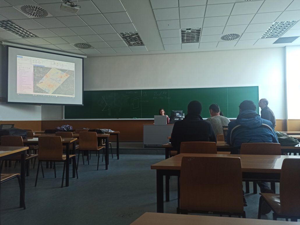
While Pathfinder can be used as a cloud-based tool, Sonia and Elena show the other side of the same coin: Pathfinder as an add-in to ArcGIS. With the ArcGIS plug-in, customers accustomed to ESRI products can do the same geospatial operations and calculations as with the cloud-based version.

Thank you Salvador, Elena y Sonia and Giltycs.com for giving a great industry talk to our Master students and GEOTEC members.
- Posted by geoadmin
- On 28 February, 2023
- 0 Comments


0 Comments